


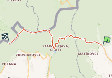

6,8 km | 9,9 km-effort

Tous les sentiers balisés d’Europe GUIDE+


Kostenlosegpshiking-Anwendung
 SityTrail
IGN / Geografische Institute
SityTrail World
Die Welt öffnet sich für Sie
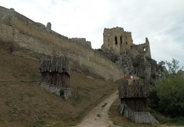
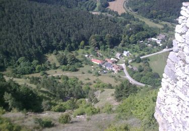
Tour Zu Fuß von 11,2 km verfügbar auf Trentschiner Landschaftsverband, Unbekannt, Bezirk Neustadt an der Waag. Diese Tour wird von SityTrail - itinéraires balisés pédestres vorgeschlagen.
Symbol: education


Zu Fuß
![Tour Zu Fuß Bánov - [Ž] Pod Malým Lopeníkem - Obecní háj - Photo](https://media.geolcdn.com/t/375/260/ee2ac329-a8ee-43ad-a0c5-6b716a09a451.jpeg&format=jpg&maxdim=2)
Zu Fuß
Zu Fuß
Zu Fuß
Zu Fuß
Zu Fuß
Zu Fuß
Zu Fuß
Zu Fuß